Woolpert, Inc 
Texas Strategic Mapping Contract
To view the detailed list of products and services offered under Woolpert’s Strategic Mapping Contract, please visit the pricing page.

Data Acquisition

Woolpert is an industry-leading provider of geospatial data collection services. We merge decades of experience with a complete suite of technical resources to deliver top-quality geospatial projects on time and within budget. Through our StratMap contract, we provide the following data acquisition services:

  • Bathymetric Lidar (5m | 2m)
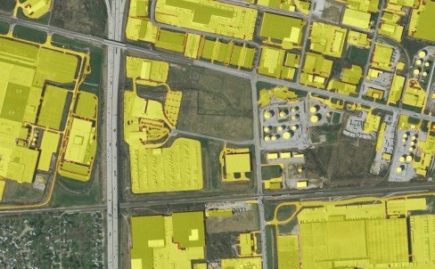
  • Four-band Orthoimagery (30cm | 15cm | 7.5cm)
  • Ground Control Survey
  • Mobile Mapping
  • Thermal Imaging
  • Topographic Lidar (8 ppsm | 4 ppsm | 1 ppsm)
  • Unmanned Aircraft Systems

Data Development

Without processing and analysis, data is just numbers. Woolpert’s data development experts transform raw numbers into accurate, useful analytic products. We offer a combination of traditional techniques, proprietary algorithms and commitment to quality that increases the value of any geospatial project.

Woolpert provides the following data development services:


  • Base Mapping
  • Feature Extraction
  • Historic Aerial Film Scanning
  • Quality Assurance/Quality Control

Ad Hoc Support

With decades of experience, Woolpert understands that a successful solution is bigger than one single service. We have built a robust collection of equipment, state-of-the-art technology and experienced teams to back every project through every phase.

Through our StratMap contract, Woolpert offers the following ad hoc support:

  • Aircraft
  • Personnel
  • Sensors
  • Survey Equipment

Contact Information

Sam Moffat
Geospatial Program Director | Geospatial Services
D +1 (865) 621-2984 | Sam.Moffat@Woolpert.com